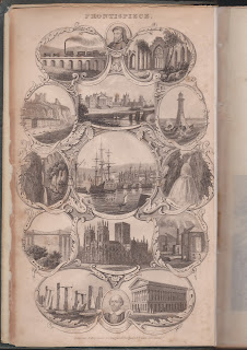
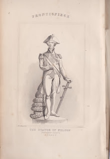
Thomas Dugdale Author / Editor of Curiosities of Great Britain (1835) which became England and Wales Delineated when republished in the 1840s. During the late 1700s and 1800s there were many gazetteer guides which attempted to describe the British Isles and many of these included maps and / or illustrations. Two good examples of this genre are the books published as monthly instalments by Fisher – Devonshire and Cornwall Illustrated – and by Jennings – Moore´s History of Devonshire – which both included a wealth of written material on the county/counties and included maps and, more importantly, engravings. See my blog, Jennings vs. Fisher for full details and all the illustrations. Thomas Dugdale was possibly an amateur historian, genealogist, geographer and antiquarian and was mostly responsible for compiling the Curiosities of Great Britain . This work was first published in 1835 and included maps produced by the team of George Cole, artist and cartographer, and John Roper...


.jpg)
Comments
Post a Comment